Projects
Work
Research pipelines, GIS plugins and tools, and web maps. Print and story maps are in the map gallery.
Research with G. Burch Fisher, Ph.D. · GCE-SCIPE, UMCES · NASA BioSCape
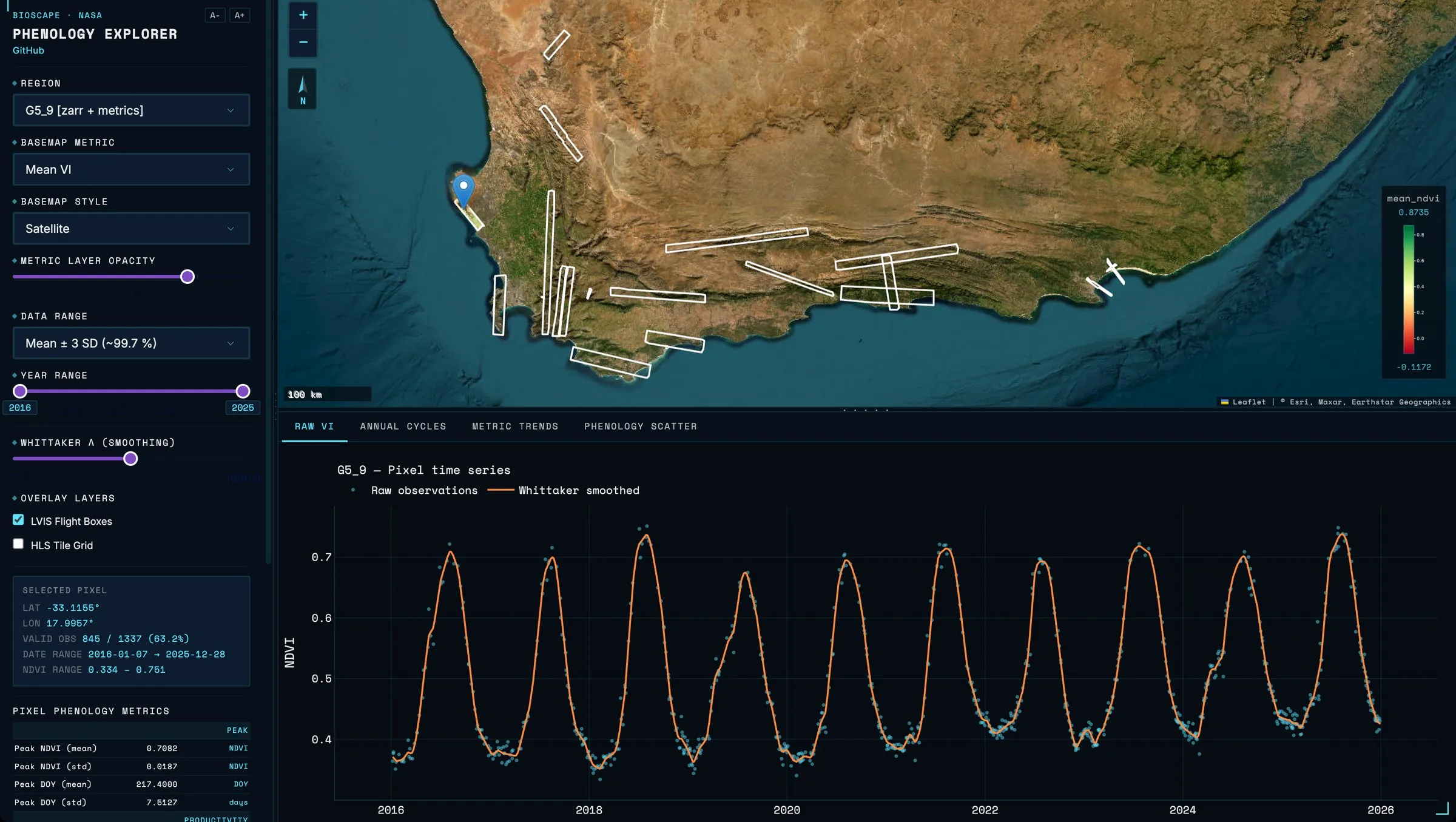
Work as a Research Collaborator with G. Burch Fisher, Ph.D., an Associate Research Scientist with the National Science Foundation–funded GCE-SCIPE program at the University of Maryland Center for Environmental Science, on BioSCape, a NASA-funded US–South Africa biodiversity project. Two tools I wrote turn satellite imagery into NetCDF phenology datacubes that were used as model inputs for BioSCape, and the BioSCape Phenology Explorer puts them in front of researchers.
Open sourceWith G. Burch Fisher, Ph.D. (GCE-SCIPE, UMCES) · NASA BioSCape, 2026
An interactive dashboard over the phenology datacubes I built for BioSCape, a NASA-funded biodiversity project in South Africa.
- Interactive dashboards
- Time series & phenology
- Satellite remote sensing
- Data pipeline engineering
- Web mapping
- Cloud deployment & DevOps
Open sourceNSF Jetstream2 research cloud (ACCESS), 2026
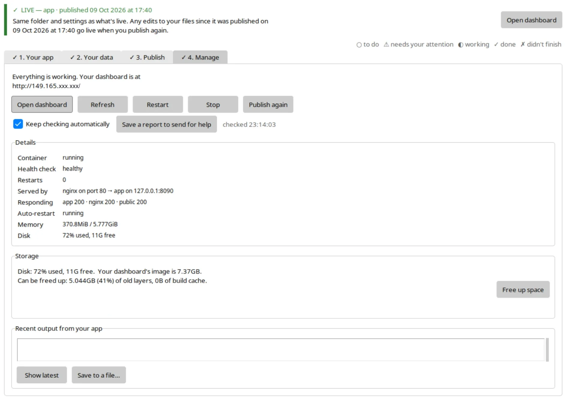
Get a research dashboard off a laptop and onto the open web, with no Docker knowledge required.
- Cloud deployment & DevOps
- Interactive dashboards
- Technical documentation
Open sourceWith G. Burch Fisher, Ph.D. (GCE-SCIPE, UMCES) · NASA BioSCape, 2026
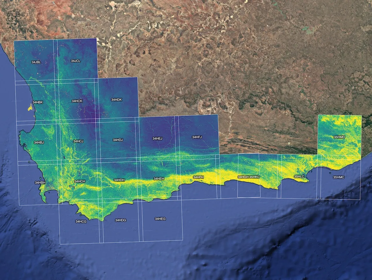
An 11-step pipeline that turns NASA Harmonized Landsat & Sentinel-2 imagery into analysis-ready vegetation index time series.
- Satellite remote sensing
- Time series & phenology
- Data pipeline engineering
- Technical documentation
Open sourceWith G. Burch Fisher, Ph.D. (GCE-SCIPE, UMCES) · NASA BioSCape, 2026
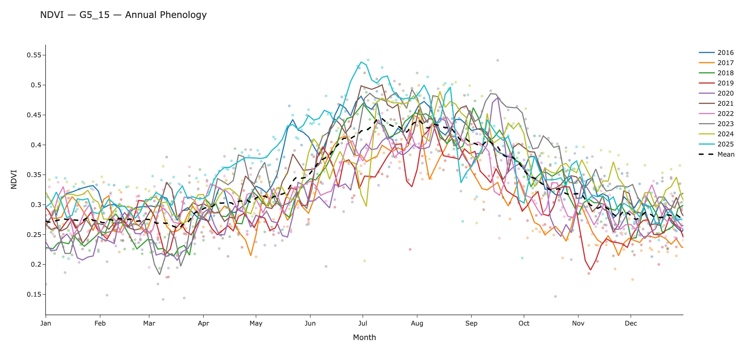
Per-pixel datacubes, 19 phenological metric maps and model-ready rasters from vegetation index time series.
- Time series & phenology
- Satellite remote sensing
- Data pipeline engineering
- Technical documentation
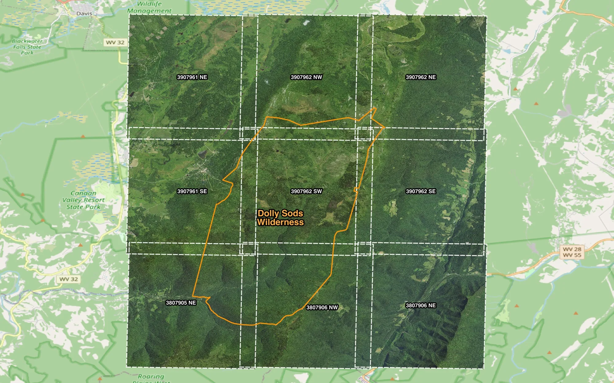
Open sourceFor G. Burch Fisher, Ph.D. (GCE-SCIPE, UMCES), 2026
Bulk NAIP aerial imagery download through the USGS Machine-to-Machine API, with parallel transfers, resume and band extraction.
- Data pipeline engineering
- Satellite remote sensing
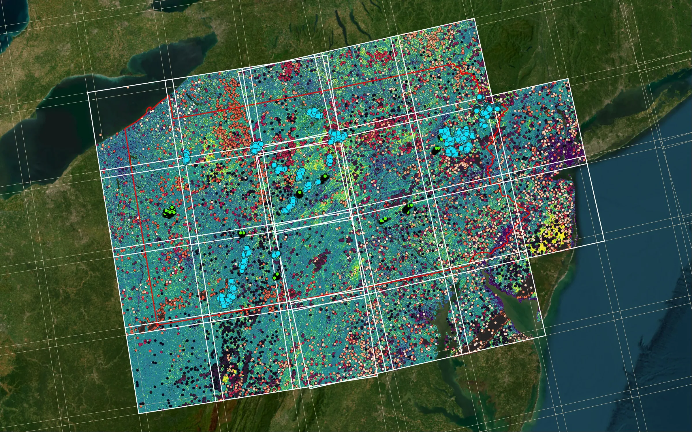
Ongoing researchWith G. Burch Fisher, Ph.D. (GCE-SCIPE, UMCES), 2026, ongoing
Using leaf-off satellite phenology to find evergreen understory shrubs beneath Pennsylvania's deciduous forests.
- Satellite remote sensing
- Time series & phenology
- Data pipeline engineering
GIS plugins, tools & web maps
Plugins and processing tools for desktop GIS, built for QGIS on PyQGIS, GDAL and numpy, so analysts can run complete workflows from the Processing Toolbox, in models and in batch mode. Plus an interactive 3D web map of drone-measured river change.
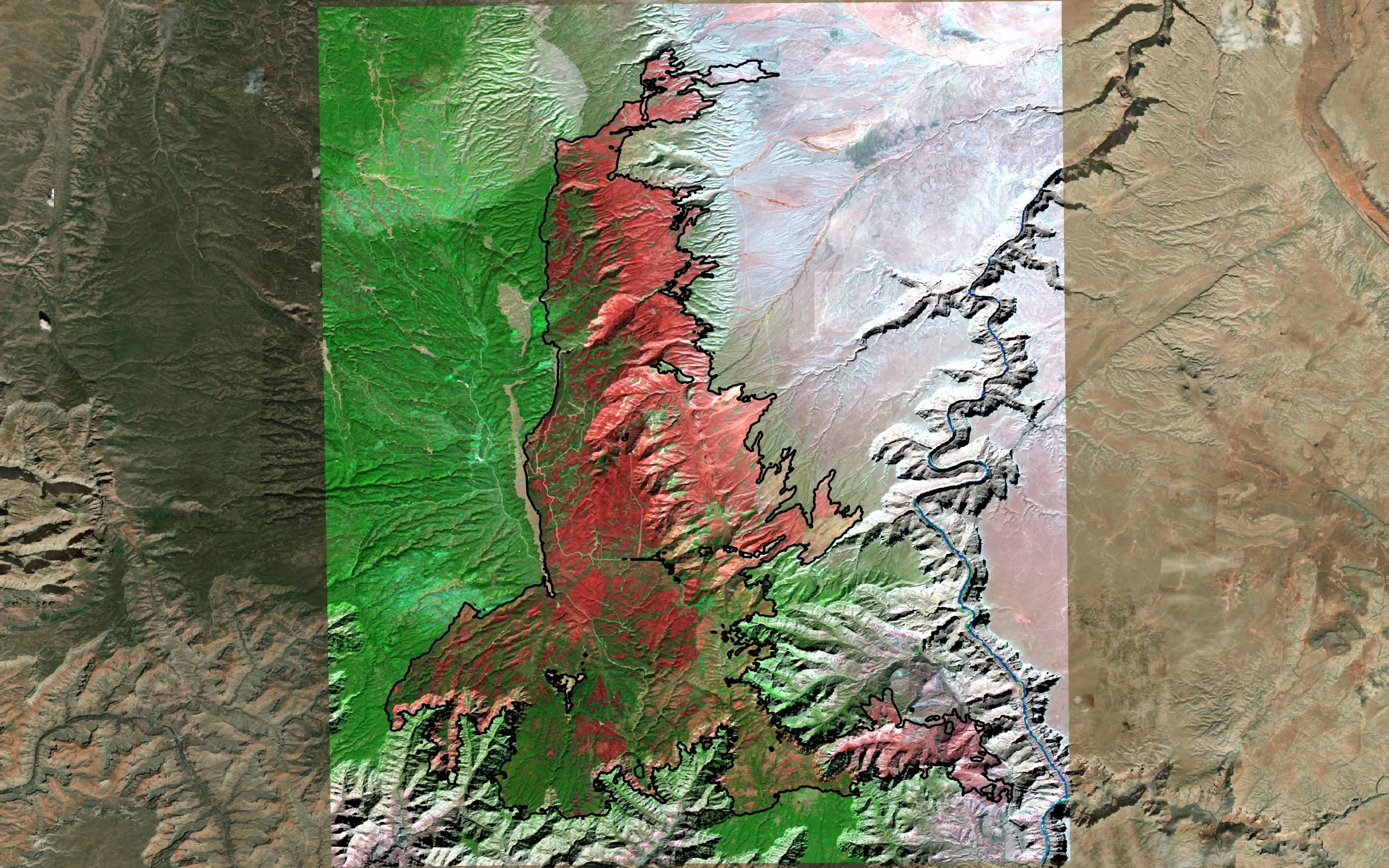
QGIS plugin, 2026 (version 2.0 in development)
A QGIS plugin that goes from a fire perimeter and dates to calibrated satellite imagery, MTBS-style burn severity, area summaries, a map and a report.
- GIS plugin development
- Satellite remote sensing
- Cartography & map design
- Data pipeline engineering
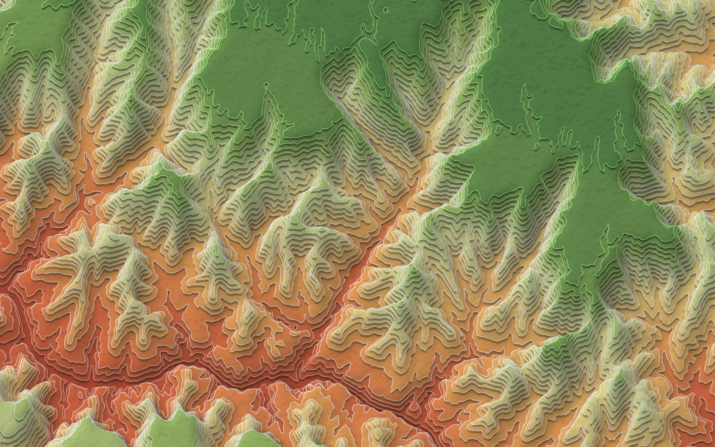
Open sourceQGIS Processing script, 2026
Turns any DEM into offset "stacked paper" terrain art, natively in QGIS, with an ArcGIS Pro export.
- GIS plugin development
- Cartography & map design
- Terrain, LiDAR & drone data
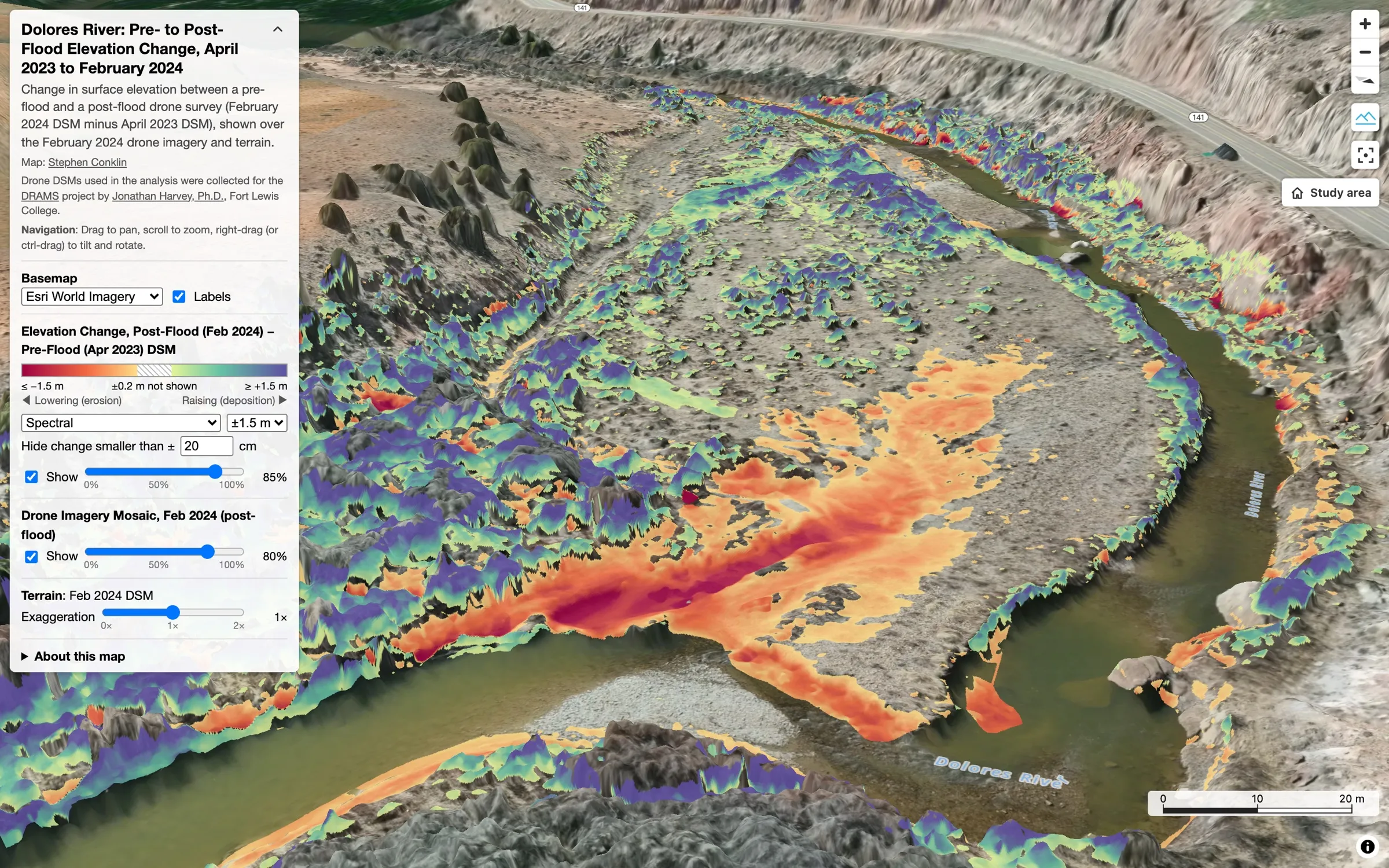
Open sourceFort Lewis College, DRAMS project data, 2026
An interactive 3D web map of drone-measured erosion and deposition after a dam-release flood in Southwest Colorado.
- Web mapping
- Terrain, LiDAR & drone data
- Cartography & map design