About
Stephen Conklin
Research Collaborator with G. Burch Fisher, Ph.D., an Associate Research Scientist with the National Science Foundation–funded GCE-SCIPE program at the University of Maryland Center for Environmental Science. With Dr. Fisher, I build remote sensing workflows and research tools for satellite imagery, most recently for BioSCape, a NASA-funded biodiversity project in South Africa. Before that: over two decades of web development and data systems work, and fieldwork in Colorado’s San Juan Mountains.
Experience
2026 – present
Research Collaborator
With G. Burch Fisher, Ph.D., Associate Research Scientist, National Science Foundation–funded GCE-SCIPE program, University of Maryland Center for Environmental Science (UMCES)
- Engineered an 11-step Bash/Python pipeline for NASA Harmonized Landsat/Sentinel-2 (HLS 2.0) data, enabling reproducible time-series vegetation index analysis.
- Delivered NetCDF datacubes of time-series phenology for BioSCape, a NASA-funded US–South Africa biodiversity project in the Greater Cape Floristic Region; the datacubes were used as model inputs for the project.
- Built and delivered the BioSCape Phenology Explorer, an interactive dashboard that lets scientists visually explore and navigate the project’s regions and phenology metrics, deployed on the NSF Jetstream2 research cloud.
- Built a per-pixel phenology pipeline producing CF-1.8 NetCDF and GeoParquet datacubes, metric maps and interactive visualizations.
- Mapping mountain laurel and rhododendron across Pennsylvania with leaf-off phenology, and work toward TorchGeo and GeoAI foundation models, for ecologists and ornithologists mapping habitat.
Fall 2025
Co-Investigator, Alpine Lake Water Quality
Fort Lewis College, Undergraduate Research
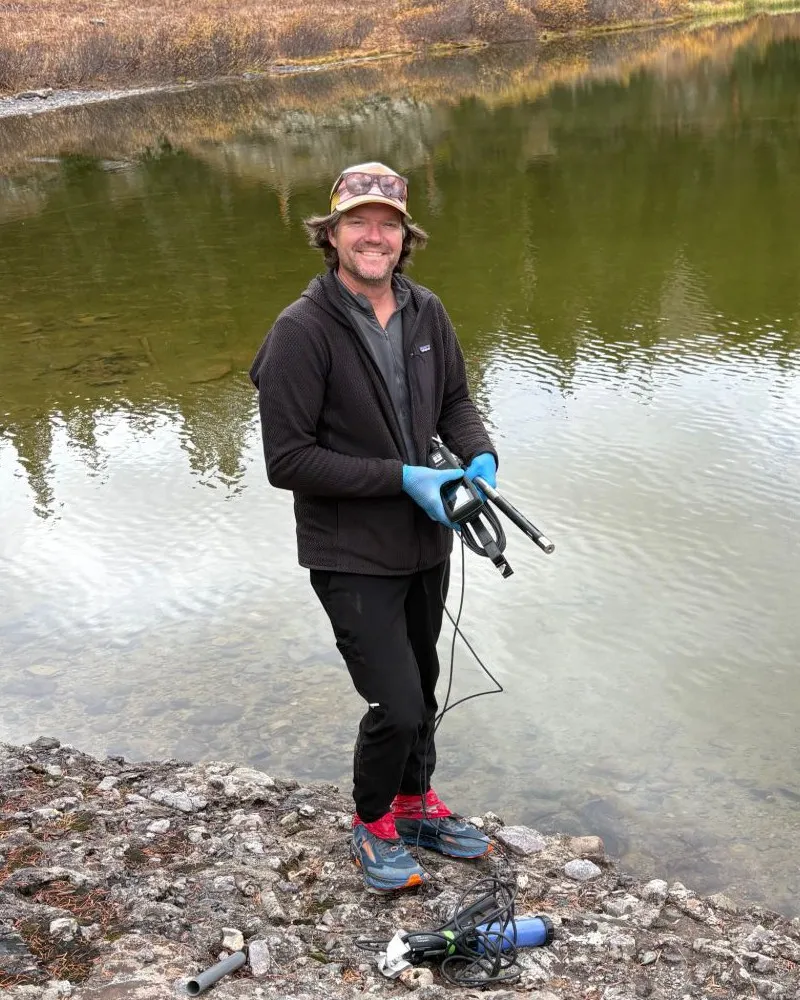
- Sampled fecal indicator bacteria and water chemistry at alpine lakes in Colorado’s San Juan Mountains; analyzed in ArcGIS Pro and R.
- Derived trail-use intensity metrics from AllTrails and Strava heatmap imagery using color thresholding and zonal analysis.
2016, 2023
Contract Field Technician
Rider Resources, Durango, CO
- Installed a high-altitude climate monitoring station near Silverton, CO, following the 2015 Gold King Mine spill.
- Modified peristaltic water samplers for more precise automated sampling.
2002 – 2018
Web Manager; Web Consultant
Worldwatch Institute, Washington, DC
- Ran the LAMP servers and CMS publishing environmental research to a global audience; led the move from static HTML to Drupal and WordPress.
- Built custom web applications, including a customized email click-tracking system.
- Managed and grew the Institute’s e-commerce.
- Managed and delivered the Institute’s e-newsletter and email campaigns to a global subscriber base.
1999 – 2024
Independent Web Developer
Washington, DC & Durango, CO
- Built and supported servers and web applications for environmental and nonprofit clients.
2003 – 2012
Sports Timing Software Developer & Operator
Animas Timing
- Built and operated real-time timing and results systems for whitewater slalom, including Olympic Trials and the Pan American Games.
Education
B.S., Environmental Conservation and Management
Fort Lewis College, Durango, CO
Geographic Information Systems Certificate
Fort Lewis College, Durango, CO
Selected coursework
- Remote Sensing
- Raster GIS
- Vector GIS
- GIS Python Programming
- Environmental Geography
- Research Methods & Design
- Statistics
Toolbox
Geospatial & remote sensing
- QGIS / PyQGIS
- ArcGIS Pro
- GDAL
- Google Earth Engine
- NASA HLS 2.0
- Landsat & Sentinel-2
- LiDAR
Data & science
- Python
- xarray / Dask
- rasterio
- NetCDF CF-1.8
- Zarr
- GeoParquet
- R
- SQL
- Bash
Web & visualization
- MapLibre GL JS
- Plotly Dash
- Leaflet
- Astro
- HTML / CSS / JS
- Drupal / WordPress
Infrastructure
- Docker
- nginx
- Apache
- Linux
- NSF Jetstream2
- Google Cloud Storage
- Read the Docs / MkDocs
Field
- Water quality sampling
- Environmental monitoring
- Drone survey data
- Wilderness navigation
Outside the screen
- On the water: exploring by boat and board, from river running to offshore sailing. Former U.S. National Team whitewater slalom racer and Athlete Representative on the USA Canoe/Kayak board.
- On land: discovering new landscapes by bike, on rock and on foot.
- At home: family and music.