Pennsylvania Mountain Laurel & Rhododendron Mapping
Using leaf-off satellite phenology to find evergreen understory shrubs beneath Pennsylvania's deciduous forests.
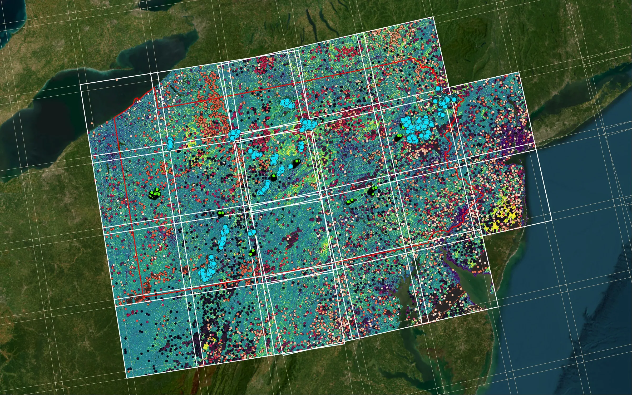
Mountain laurel (Kalmia latifolia) and rosebay rhododendron are evergreen shrubs that form dense understory thickets across Pennsylvania’s forests. They shape forest regeneration, wildlife habitat and fire behavior, but they’re hidden under the canopy for most of the year.
The thickets’ dense evergreen cover shelters birds and small mammals, especially in winter, so the maps matter beyond botany: ornithologists are using the mountain laurel data to map habitat for particular bird species.
Approach
When the deciduous canopy drops its leaves, evergreen understory becomes visible to satellites. This project uses the HLS Vegetation Index Pipeline to build statewide leaf-off NDVI composites from 2015–2021. It then fits per-pixel phenology curves to separate evergreen shrub signals from the surrounding forest.
What’s next
Ongoing work aims to integrate TorchGeo and GeoAI foundation models, combined with NDVI and LiDAR, to sharpen species-level identification.